Arctic Air Leaving Wenatchee, NCW; El Niño For Rest Of Winter
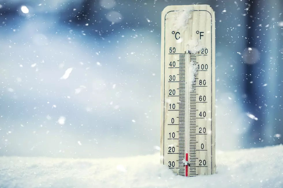
The cold snap affecting Wenatchee and most of the state east of the Cascades is leaving the region.
"We are shifting out of this arctic air mass we've been in for about a week or so," said National Weather Service Meteorologist Steven Van Horn. "We're in a different flow regime where the weather system is becoming more out of the southwest, and that usually brings milder temperatures."
Horn says the eight to14 day outlook, and even beyond, shows a continuation for El Niño winter the region was experiencing before the cold snap.
"That's the thinking that it will continue with an El Niño winter," Van Horn said. "And then it does look like we'll be transitioning out of El Niño conditions in the spring, going towards more of a neutral state."
Van Horn said we never actually left El Niño conditions, and the arctic mass was just a temporary variation from the El Niño pattern.
Temperatures are warming up starting this weekend when snow will start to convert to rain.
Meanwhile, the arctic front helped to boost snowpack in the Cascades, as snow levels are now 70 to 85 percent of normal.
That's an improvement from 40-to-50 percent of normal just a week ago.
Van Horn said we’ll need more consistent snow in the mountains to get the snowpack back to normal.
The major concern is low levels of snowpack will lead to reduced runoff in the spring, which would leave wildfire fuels more stressed and susceptible to igniting.
Van Horn said snowpack levels also affect the water supply, as the water supply is somewhat dependent on the Cascade snowpack.
10 Winter Essentials for Visiting Parks in Washington
Gallery Credit: Patti Banner
More From NewsRadio 560 KPQ