Heavy Cascade Snow Coming, But Snowpack Level Likely To Stay Low
Heavy snow is on the way for the Cascades Wednesday night through Friday.
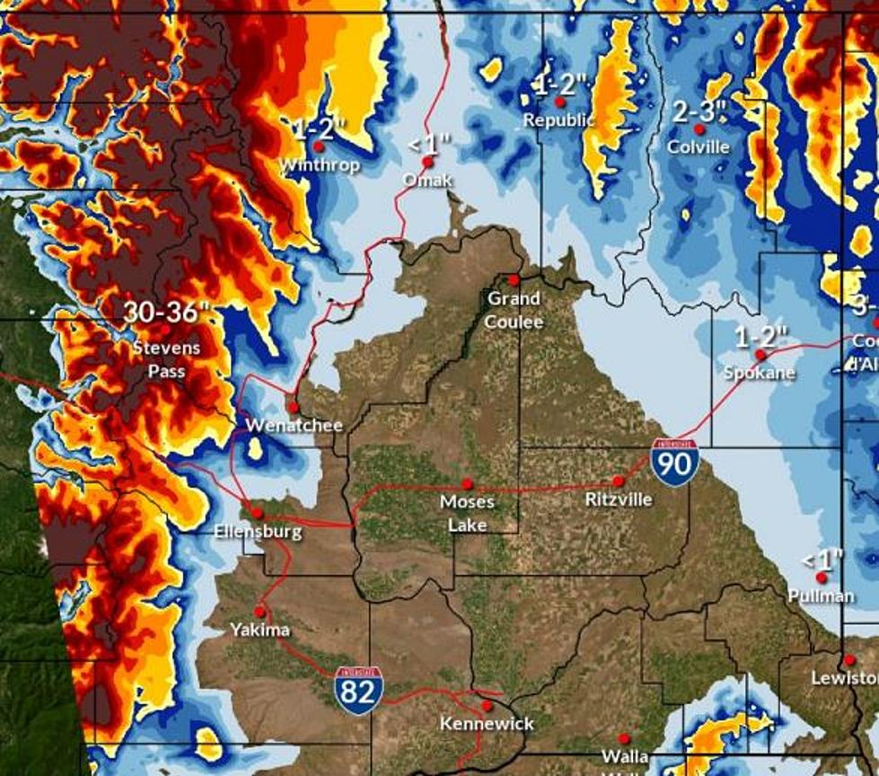
National Weather Service Meteorologist Joey Clevenger says the storm will hit Stevens Pass especially hard at times.
"It's kind of a long-drawn-out event, but ya, there is going to be some pretty decent snow rates of maybe up to one inch an hour during periods for Stevens Pass," said Clevenger.
Stevens Pass could get up to three feet of snow by Friday, while Blewett Pass will only see 7-8 inches.
Much more snow will be needed before there's any chance for snowpack to reach normal levels for the year.
The Current snowpack in the Cascade Mountains in Washington is 60-67 percent of normal, which is a relatively low mark, even for this winter with an El Niño pattern currently in place.
A high mark was recorded on Jan. 10 when the Washington snowpack was 75-to-90 percent of normal.
By Jan. 15 the level was 67-to-75 percent of normal, and on Jan.25 it was 75-to-85 percent of normal.
The Weather Service says there just hasn’t been enough constant cold weather and storms to sustain a consistent snowpack with the El Niño winter.
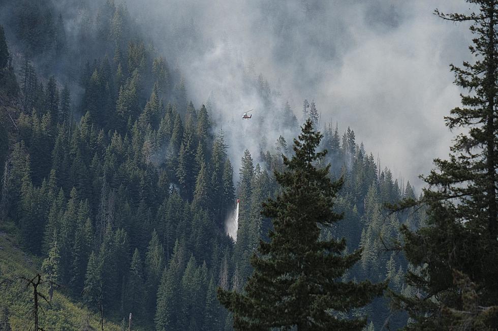
Clevenger says the fire danger will increase if the snowpack cannot be sustained for several more months.
"If we lose the snowpack too early, then those trees, kind of dry out sooner where there's less moisture for them so that they can be more susceptible to fires," Clevenger said.
The current three-month outlook for the Pacific Northwest is calling for warmer and drier than normal weather, which could lead to the snowpack disappearing more quickly.
The region would then be more susceptible to wildfires.
Meanwhile, the storm that’s bringing snow to the Cascades will bring mostly rain to lower elevations such as Wenatchee.
Reasons Why You'll Hate Living in Washington State
Gallery Credit: Aly
More From NewsRadio 560 KPQ